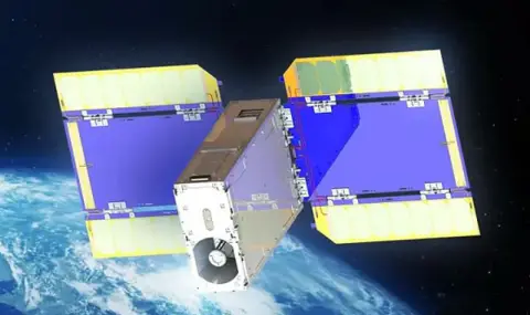
Tokyo-based ArkEdge Space said it has captured the highest-resolution images of Earth ever taken by a small CubeSat. The Onglaisat satellite, developed in conjunction with Taiwan’s TASA space agency, took images with a resolution of 2.5 meters from an altitude of 410 kilometers.
ArkEdge Space has released black-and-white images of roughly one square kilometer of areas showing buildings and roads in the US near Seattle and in Patagonia, Argentina. The company claims to have achieved “world’s highest surface resolution” in the CubeSat category, ranging from 2.5 to 3 meters.

Onglaisat incorporates advanced technologies, including TASA's Korsch optical system, a CMOS image sensor with TDI (Time Delay and Integration) technology, and a satellite attitude control system. All the equipment fits into a 6U form factor, comparable in size to a suitcase, and allows for the creation of detailed images of objects on the Earth's surface, such as roads and buildings.
The main objectives of the Onglaisat mission are testing the optical system in space conditions, verifying the altitude control system developed by the University of Tokyo, and processing the images. All the set goals were successfully achieved. The minisatellite was delivered to the ISS in November 2024, and its launch into orbit took place on December 10 from the Japanese Kibo module.
